Selfie of the Earth
Want to use land wisely? Then analyse the ‘skin’ of the Earth.
Want to use land wisely? Then analyse the ‘skin’ of the Earth.
This story can also be read on Medium.
It was the seventh of December, 1972. That was when Planet Earth’s wireless, remote-controlled selfie camera, the Apollo 17, turned around and took the first ever photo of the entire planet at once. This picture was taken at a far distance, and gave to the viewer a general impression of what the Earth looked like.
It was round and blue.

There you could see the striking ocean, the African continent, the ice of Antarctica, and some clouds are visible as well.
That was nearly fifty years ago. Now, technology has largely improved and we can have more detailed pictures of the Earth. Many satellites are turning around our blue planet and taking pictures of its surface everyday. These high-quality pictures are put together for a most important job: to identify the land cover of the Earth.
Human population is growing, and, more importantly, people are asking for more goods and resources for our planet. They want to develop new crop plantations, build new cities, and dig new holes in the ground from where they can take minerals and say “it’s mine!”
But where exactly should these new things happen? You can’t just walk into unoccupied land and say “okay, I’m building a city here.” Chances are, even unoccupied land will be occupied — by creatures other than humans.
If we’re choosing places for projects, we should at least choose a good spot, as in one that does the least harm. It’s better to plant corps on bare land than on a forest. It’s better to spare species-rich habitat when expanding cities.
And if you want to choose a sensible spot, you’ll need to know about land covers.
Land covers are exactly what they sound like: the cover of the land. You could think of them as the skin of the Earth.
A land cover is basically a description of all the elements on a particular area of the Earth’s surface: elements such as vegetation, water and built-up areas. Land covers have a direct effect on the functioning of the Earth system.
A land covered by a forest doesn’t have the same temperature or water cycle as bare land. A building-covered area like a city doesn’t behave the same way, physically speaking, as an area covered by crops like corn or wheat. Water evaporates at different rates. Sunlight reflects off some better than other. Some heat up and cool down quickly, whereas others stay steady for a long time before giving in.
Land covers are also a proxy to determine other land properties like biodiversity or carbon content. Obviously, a primary forest stores more carbon and contains more animal species than a crop field or a city.
Defining land covers is about creating categories and finding ways to differentiate them. You might wonder what the big deal is. So you want to know if some land has a forest or a city — how hard can that be?
Seeing the difference between a forest and a city is easy, even from space. But if you want to differentiate primary forest, secondary forest and tree plantations of rubber or oil-palm, that’s when things get tricky. From space, these three land covers just look…green and bushy.
Mutually exclusive land cover categories are not easy to create. On the one hand, we are limited by our language or mind. For example, it exists four words in Indonesian to name a degraded forest, each word corresponding to a different degree of degradation. In English, we lack these words and therefore these categories.
On the other hand, there is a lot at stake when defining the word “forest”. For example, many tree growers would like their plantation to be qualified as a forest and thereby hide the negative environmental impact of growing one species of tree on a large area. A rich, diverse ecosystem is different from a repetitive plantation of acacia or oil-palm — but if they’re both counted as “forest”, nobody could tell the difference.
The Blue Marble from 1972 gives some very rough information about Earth’s land cover. From the picture, we can see that Earth is mainly covered by oceans, and there’s some patches of continent in between.
But we know almost nothing about what’s covering the continent.
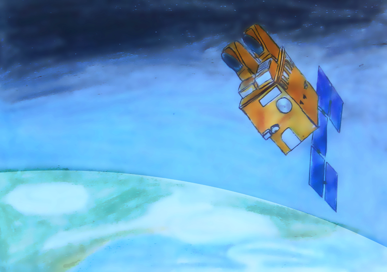
Nowadays, there are satellites orbiting closer to the Earth, which can take such high-resolution pictures, I can even see my own house in them. Landsat satellites are one example, with a resolution of 30 square metres— that means each pixel of the picture represents a square of 30 metres on the ground.
Other satellites like SPOT, the Satellite Pour l’Observation de la Terre, have a resolution of onesquare kilometre — lower quality pictures, but you can glimpse a greater area all at once.
The higher the resolution of a satellite, the slower in needs to travel round the Earth to take a complete picture of its surface. Landsat takes over two weeks to take a complete set of the Earth’s land cover, while SPOT can take this same set of pictures twice in one day. That’s the trade-off between space resolution (the size of each pixel) and time resolution (how often you can take those pics to get a continuous live feed of what’s going on).
Each picture of the Earth will contain many pixels. Two pictures can overlap and both include identical pixels. Since it’s not convenient to duplicate this information, Earth pictures are processed: duplicated pixels are deleted, and filters are applied. It’s like editing a selfie on Instagram but in a more complicated way.
A selfie of the Earth taken by a satellite is called a “tile”. All tiles put altogether side by side can give a complete picture of the Earth land cover.
Since the Earth is big, and its tiles contain many pixels of 30 square metres, its land cover cannot be classified by hand. Even if the classification is done at a small scale, like a country-scale picture of just that nation’s cover, it’s cheaper and more efficient to automate everything.
Classification can be either be supervised by humans, or be completely automated. If it’s supervised, a human being must determine land cover classes such as forest, city, crop land and sea, and then tell the classifying algorithm “hey dude, these pixels I am showing you are forests, find all similar pixels and group them as forest; these are cities, groups them as city…” and so on.
For unsupervised classification, the algorithm directly groups similar pixels together without any assistance. The researcher later gives a label to each group: “these ones are forest, those are urban, that one’s water” and so on.
Each classification type has it advantages and drawbacks in terms of costs, time, precision, and more. A variety of algorithms have been developed for each classification type.
But to help the algorithms even more, it’s important to make different land-cover pixels different from each other. Forests and plantations may look similar, but we should try to make them look as different from each other as we can.
Satellite sensors get information from the light reflected by the Earth surface. They sort out this information into bands, similar to the strip of a rainbow. For example, Landsat’s sensors can sort out the light into seven bands like ‘red’, infrared’, and ‘green’. Once this information is sorted out, it’s possible to calculate values like “vegetation index” and “texture value”.
These indices and values are calculated with some fancy formulae which I won’t review here because it’s a bit boring, but the key idea to remember is that those indices and values help differentiate pixels from one other. Maybe one type of land cover has more “red” than another, even if they’re both mainly green.
Theoretically, the more indices and values you have, the easier it is to differentiate pixels. The more details you know about a person, the easier it is to spot them in a crowd.
Once all pixels have had their bands, indices, and all the rest calculated, the classifying algorithm can recognise differences between pixels and easily group them. The algorithm gives the (hopefully) right label to each pixel, and draws a colourful map with a legend of the land cover classes. Looking at the map, you can say: “Hm, there is a lake here” or “Oh God, farmers have expanded their cropland into the forest without telling me!”
Once a map is created, how do you make sure it’s an image of the world as it is, and not the artistic creation of a childish algorithm?
One way to check if the algorithm has classified the land cover well, is to test it with land covers whose type you already know. Before running the algorithm, you could go to the field and check the land cover of a defined area, and perhaps take photos or videos to supplement the data. For large areas — or lazy scientists who do not like long hikes in the forest and the countryside — it’s also possible to manually identify land cover with satellite imagery. That’s not as reliable as a ground truth, but for large areas it is more realistic and cheaper.
When you’ve identified and labelled the land cover of known pieces of land, you can run the algorithm and check whether it’s doing well.
Scientists usually organise the mistakes of the algorithm on a table, and check which land covers were confounded. “Plantations were often identified as forest by the algorithm”, they may remark, or “bare ground was misidentified as water”.
Checking which land covers the algorithms struggle to identify give valuable information to improve the classification later. Scientists can either improve the algorithm, or sample better training and testing areas. They can also choose images from other satellites, or calculate different vegetation indices, or go tweak those precise formulae again.
Once you’ve created a map and know how accurate the classifying algorithm is, you could compare the map with other available maps or land cover data. Having a map matching with land cover data or other maps is a good way to ensure trustworthiness.
Watching the Earth from space is important to have a global picture of what is covering our blue planet. Of course there is water in the ocean, but the land cover of the continent is also a key component of the Earth system.
Human beings are completely changing the appearance of the Earth — moving its skin, reorganising patches, putting some make-up here and there. And when we do it, satellite imagery and remote sensing are great tools to ensure we’re not messing up its natural beauty.
Because we wouldn’t want to spoil that selfie, would we?
Want to write with us? To diversify our content, we’re looking out for new authors to write at Snipette. That means you! Aspiring writers: we’ll help you shape your piece. Established writers: Click here to get started.